Posts

Showing posts from June, 2022

taking a break

Image
The days of rest in Frisco were necessary. Sore chest muscles from the bruised ribs, a cut in the left knee and a swollen right knee, along with the shoulder injury from too aggressive polling down the mountains (that's my theory). Add to that a welter of mosquitoe bites on my left arm that stayed red and angry looking, even after the right arm healed. In the middle of the rest period, I lost my appetite and joints became sore. My goodness! I'm a mess! I enjoyed conversations with my landlord, a tough, smart computer sales executive, blond and fit, who had some inspiring stories about navigating a male dominated industry as a lone female. She had a great career, but it was quite an adventure story. I liked her highly moral approach to sales, and strong relationships with the customer. She was pretty upset over the supreme court Dobbs case, but I hope when the decision is read carefully, it'll be clear that Roe was terrible legislation from the judicial bench -- which is nev...
Gray's and the Argentine Spine

Image
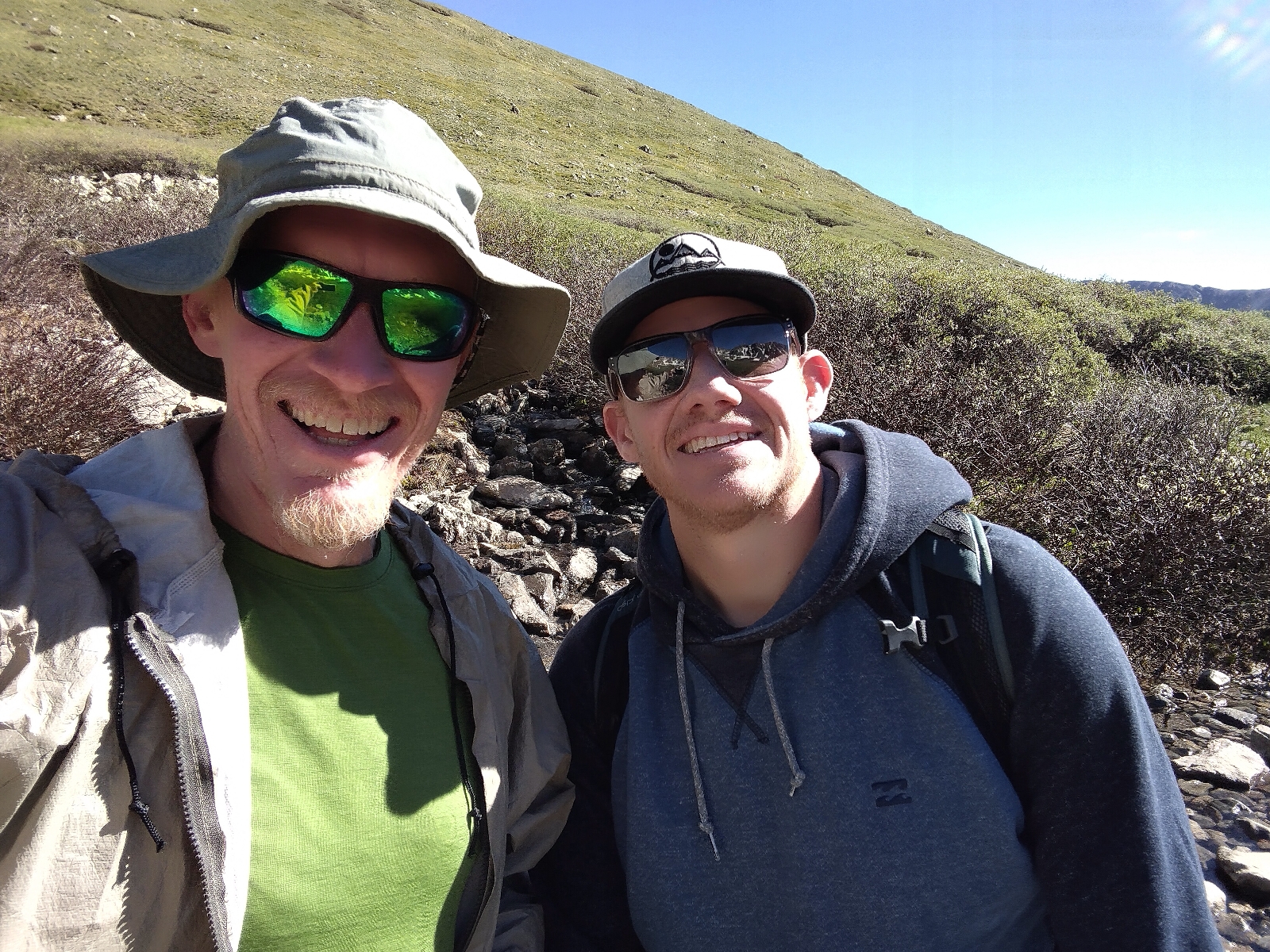
Our plan was to seize the best weather for Gray's Peak, by getting a ride to the trailhead off Interstate 70. Mishaps mom bravely tried getting up the rutted dirt road to the actual trailhead but it was a fraught exercise, best given up early! So the three of us walked up the road. Humourously, tiny Japanese cars somehow made it up the deeply rutted road and purred by us.  Soon we were walking the trail, me in front, probably because I was nervous about the section of the route from Gray's Peak to Edward's Peak. We'd read some scary reports about steep and difficult terrain. But the trail to Gray's was gorgeous... High mountain country, sweeping slopes of snow and rock above a green high country that reminded me of the Alps. I had one problem... My main water bottle was missing... It had fallen out in the truck. But we needed a whole day of water for the ridge. I asked a man at the last high water source if he could give me a plastic bottle. He only had an expensive...

Slack packin'!

Image
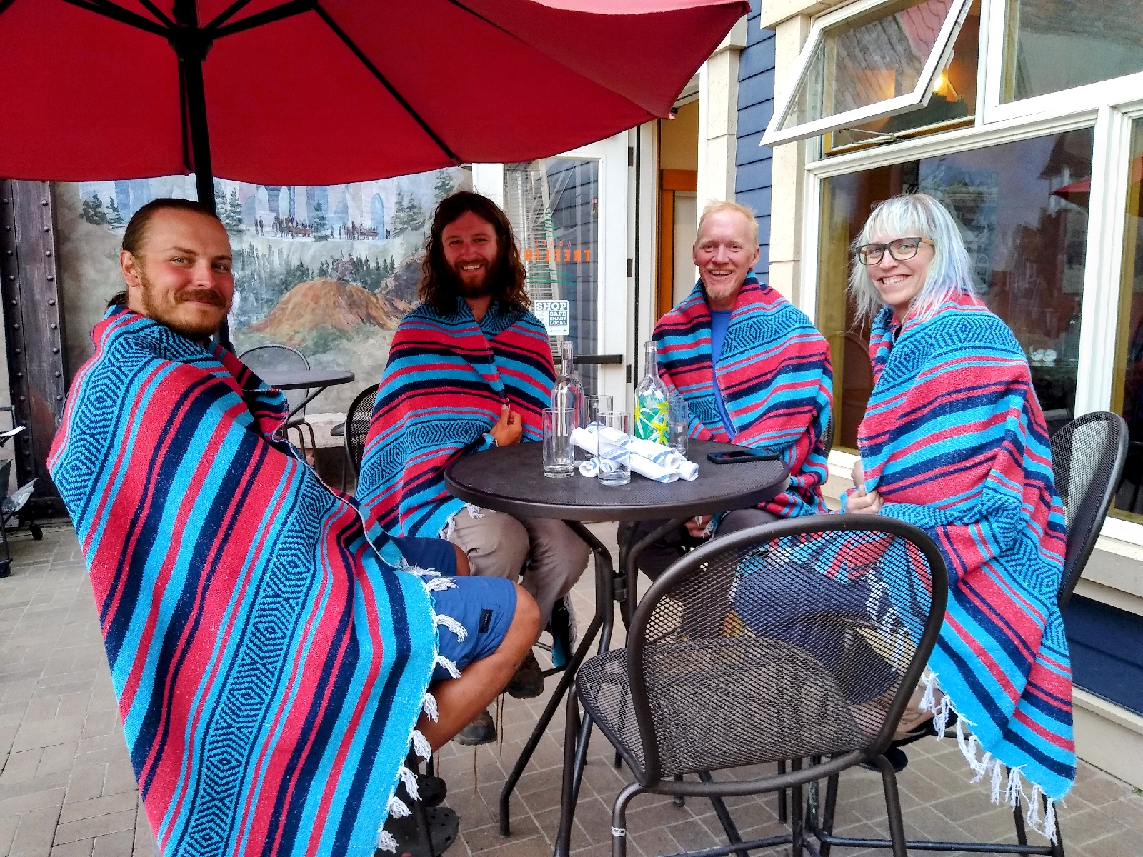
We stayed in a cabin near Twin Lakes, amazingly, packed like sardines quite comfortably. Mishaps mom was amazing for putting up with this! We had a great dinner in Leadville first. We were all cold from our big day coming over Hope Pass, so we fully utilized the blankets at the restaurant! Leftovers, Gargoyle, me and Mishap. Our plan for the next day was to hike the section north from Twin Lakes, which includes an optional climb of Mount Elbert, the second highest peak in the continental US. Nice!  Sawatch Range mountains from the summit of Elbert. looking across at the southeast ridge of Elbert. There was a good trail all the way, and a different, steeper, but still good trail down the northeast ridge. It was really nice to carry almost nothing, too. It rained heavily for a while and I wished for my umbrella. After a descent to a charming fish hatchery, we went to an odd little Chinese food restaurant in Leadv...

Monarch Pass to Twin Lakes

Image
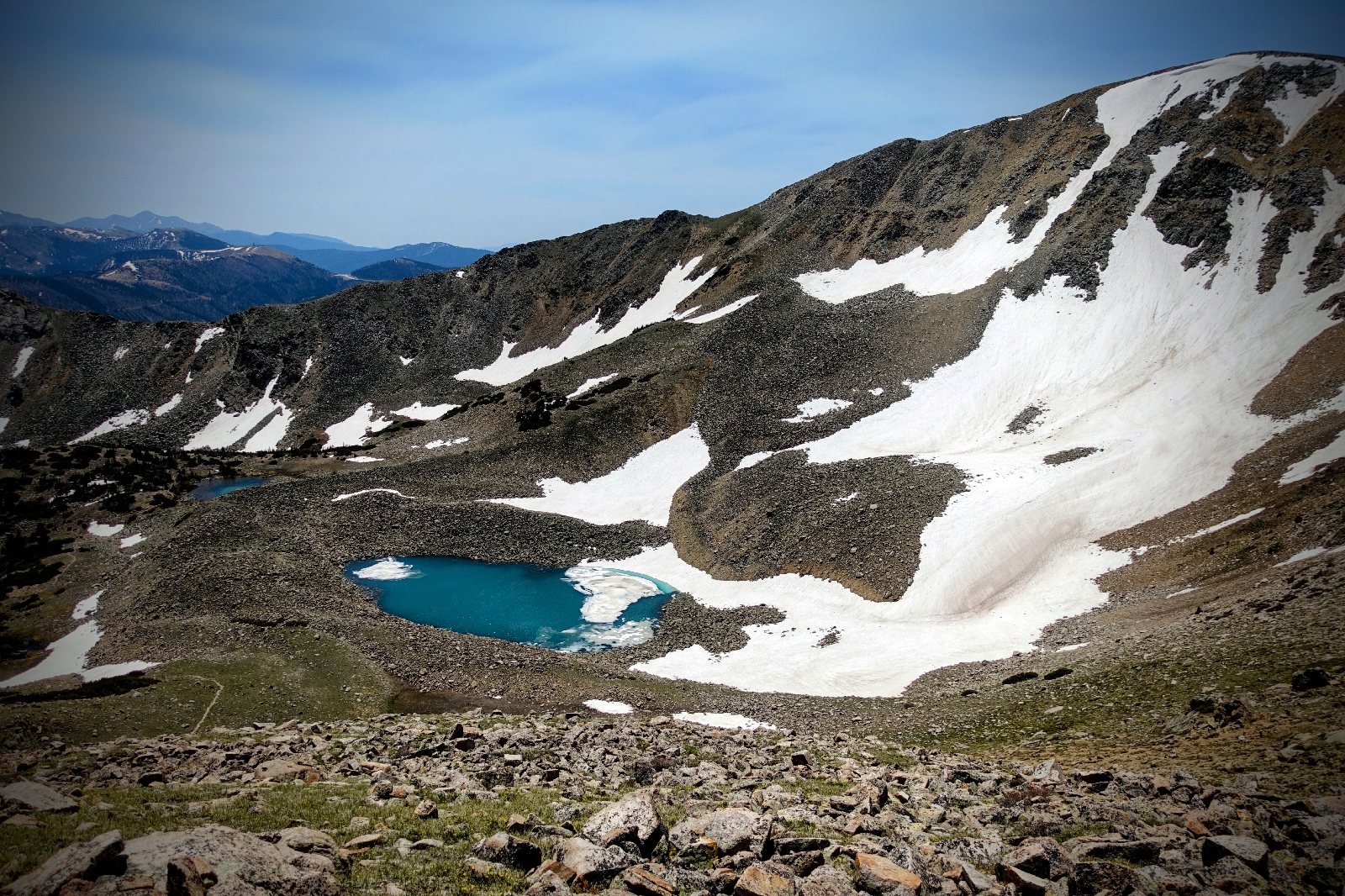
About an hour above the pass, you have the option to stay on the crest or follow the "red line" (because in the FarOut app the main trail is red) down a meandering way among alpine lakes into a valley. In this case, taking the crest saves about four miles of walking! But I've learned a few things. That savings is usually lost in steep snowbanks, or difficult talus fields where every step exposes shifting alliances in the blocks you teeter across. Plus, it's easy to breezily say you climb over "only" three summits, however, by the time you've rasped and panted over the last one, your thoughts are as often full of regret as they are illuminated by the generally better views. These are, of course, the complaints of an older person for whom the effort of leaving the porch is no longer necessary. It's not only that it's hard to get up and out there... It's that the fire of desire for the "up there" no longer burns so hot. I am actually c...

reaching Monarch Pass

Image
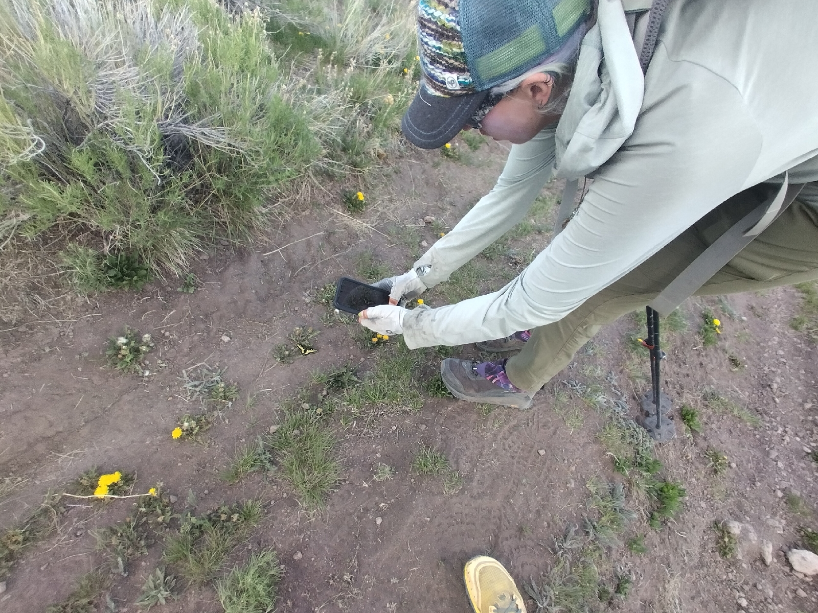
Mishap and I were walking early, and soon found Lemonhope, Leftovers and Gargoyle camped a bit further up. Roughly as a group, we make our way up and over multiple passes to reach a junction for a popular alternate route up San Luis Peak. It was a no brainer for me -- I'll stick to the standard route! I was plenty tired already from all the climbing. I went down into a long valley that arced to the north after five miles or so.  For the next few days, we'd spend much time below  10,000 feet. The next day, Mishap and I crossed a great plain. We spent a lot of time laughing and joking, which was a great distraction. I told her the story my mom often told about me falling on the ground and acting hurt, saying "look what you made me do!" Later, in the middle of a giggling fit, she did the same. Hilarious day... Oh, we also hit 1000 miles on the official trail. Mishap targets a butterfly. The next day had punishing elevation gain and loss on foreste...

Silverton to just beyond Spring Creek Pass

Image
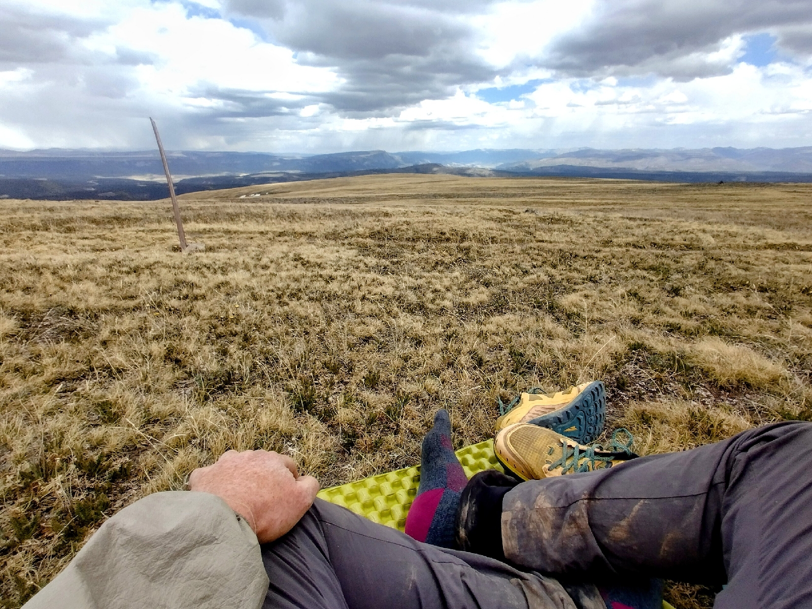
I came down or of the Northern San Juans to Silverton. Just before dropping steeply into a deep, carved valley, I sat for a last look around on a high tundra ridge. I opened my umbrella to block the wind around my feet, which were getting cold despite the sun. Thinking I was pretty clever, I attached my camera to the umbrella to hold it down against gusts of wind. Ha! As I put my shoes on and closed up my backpack, a string gust lifted umbrella and camera high up into the air, and with a cry of alarm I watched them floating away off to the east! First pinning everything down, I started running up and over a rise to hopefully retrieve my precious gear when it came down. It was a fifteen minute journey with heart in throat, lungs pounding, but finally I reached a snowfield where the camera had wrapped around one side of a penitente (a little tower of snow sculpted by the wind) and the umbrella around the other side. Thank God! Otherwise... No more pictures! After this, I scur...